- This event has passed.
9th October 2021 at 10:30 am - 3:00 pm
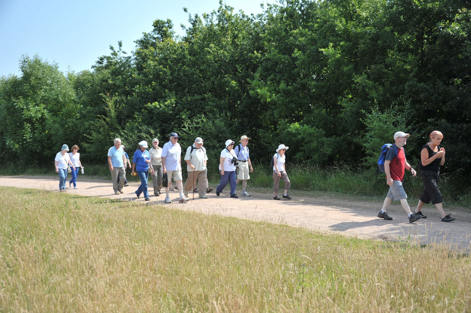
Thames Chase Forest Circle Walk – Section 3
Section 3 – West Horndon Station to North Stifford Bridge
Join us for the first Forest Circle Walk! This guided walk begins at West Horndon Station and takes us along the River Mardyke to North Stifford Bridge.
6.5 miles (approx), 3.4 hours (approx)
Mardyke River Valley
The Mardyke River starts in the Brentwood Hills and runs southwards into the River Thames at Purfleet. It takes its name from the manor of Mardyke that, in the 14th century, lay south of Dagenham close to where the river now flows into the Thames. It is thought that the river originally joined the Thames farther east than today.
The Mardyke and its changing course has greatly influenced the development of land use through the fens and the settlements of Aveley, North and South Stifford, Orsett, North and South Ockendon and Bulphan. Following the draining of the lake, the wet woodland was gradually cleared to be used extensively for agriculture. It is also thought that the Mardyke was navigable as far as Bulphan as late as the eighteenth and nineteenth centuries facilitating transportation of crops and grain to the Thames. Some records also indicate that drainage channels were dug to drain the land for grazing pastures.
The Mardyke has and still is subject to flooding and was said to be tidal up to and beyond Stifford Bridge as late as 1760. The name ‘Stifford’ is Anglo Saxon stig ford (path that crosses a stream) and other place names such as Ford Place, Ship Lane, Stifford Clays, Fen Lane, Puddle Dock Farm, Fen Farm, etc. give clues to the nature of the landscape of the Mardyke Valley.
| Date | Saturday 9th October |
| Time | 10:30am-3pm |
| Location | Start Point: West Horndon Station End Point: North Stifford Bridge |
| Cost | £3 Donation |
Public Transport:
Buses & Trains to and from start and finish points for the walk:
West Horndon:
– C2C train
– 565 bus Brentwood to Bulphan (infrequent)
Stifford Bridge:
– 370 bus Romford to Lakeside via Upminster
– 22 bus Aveley to Grays via South Ockendon
and Lakeside
Please note:
You need to choose walks within your capabilities; the walk leaders are experienced but must take your word that you are sufficiently fit for the grade of walk you have chosen.
Walk leaders will be at the start of the walk regardless of the weather. In the unlikely event of any unforeseen circumstances, Thames Chase Trust reserve the right to change or cancel a walk and/or performance. Please check the website www.thameschase.org.uk regularly for any updates or follow Thames Chase or Land of the Fanns on Twitter or Facebook.
Please ensure that you are properly equipped for all walks. The weather can be unpredictable so bring waterproof clothing and/or sun hats and sunscreen and long trousers – it’s best to be prepared for everything!
Walking boots/shoes are recommended, but otherwise please wear suitable and comfortable footwear – best to leave open-toe sandals or high heels at home.
Make sure you bring a packed lunch, if necessary, and plenty to drink.
Due care has been exercised in organising the walks, however Thames Chase Trust, the funders and associated partners of the project cannot accept liability for loss, accident or injury caused to any person following the routes.
We will be taking photographs and video of this event to promote and celebrate the project in print and online. If you do not give consent to be photographed or filmed please let a member of the team know on the day.
Participants under the age of 16 must be accompanied by an adult.
The concept of the Forest Circle
Since the Community Forest was first established in 1990, a main aim has been to promote informal access to all the regenerated areas on foot, cycle and horse. The vision was to create an improved rights of way network, particularly footpaths, designed to meet the needs of residents, visitors and landowners.
A strategic network of recreational routes – referred to as Greenways in the Thames Chase Plans – aims to integrate the safe use of the forest by all local communities and improved connections between public transport networks and the forest’s wide variety of landscapes on foot, bike and horse, and to create wildlife corridors remain as important now as it did in 1990..
The concept of the ‘Forest Circle’ was originated as the core of the Greenway network, comprising approximately……..kilometres encircling and connecting the major areas of the Community Forest. After 30 years of development, the vision of the Forest Circle has been mapped along 8 linier paths by the Thames Chase Volunteer walks team.
Many other walking routes have been mapped by the team to create further long distance Greenway routes through and around the Thames Chase area, along with new circular leisure routes of varying distance. Keeping this strategic network embedded within the green infrastructure policies for the area is a priority for the Trust.
The other feature of the Community Forest’s access programme has been the establishment of strategic gateways and hubs that serve the primary road network, urban areas and link with public transport. These are intended to provide access to the Forest via the Greenways network, with some providing for public recreation with a car park, information point, picnic area or perhaps a visitor centre with catering, toilets and interpretation.
In the longer term, Thames Chase Trust aims to provide a fully integrated safe system of Greenway links , hubs and gateways to the landscape whilst maintaining private access rights and linking with public transport services.
Forest Circle
The eight Forest Circle Walks leaflets can be found at the Thames Chase Forest Centre.
Thames Chase Guided Walks and the Forest Circle are in partnership with Land of the Fanns.
Raising Funds for Thames Chase Trust (Charity Number: 1115627)